GLOBAL IMPACTS
Knowledge generated through OTN’s work is used provincially, federally and internationally to help guide the management of valued aquatic species and the sustainable use of the ocean.
From monitoring the global movements and behaviours of sharks to better inform and protect beachgoers, to supporting community-driven efforts to track commercial species, to assisting in the design of MPAs and transboundary fisheries management practices, OTN is fostering international-scale collaboration with regional relevance, transforming aquatic species research into knowledge that benefits everyone.
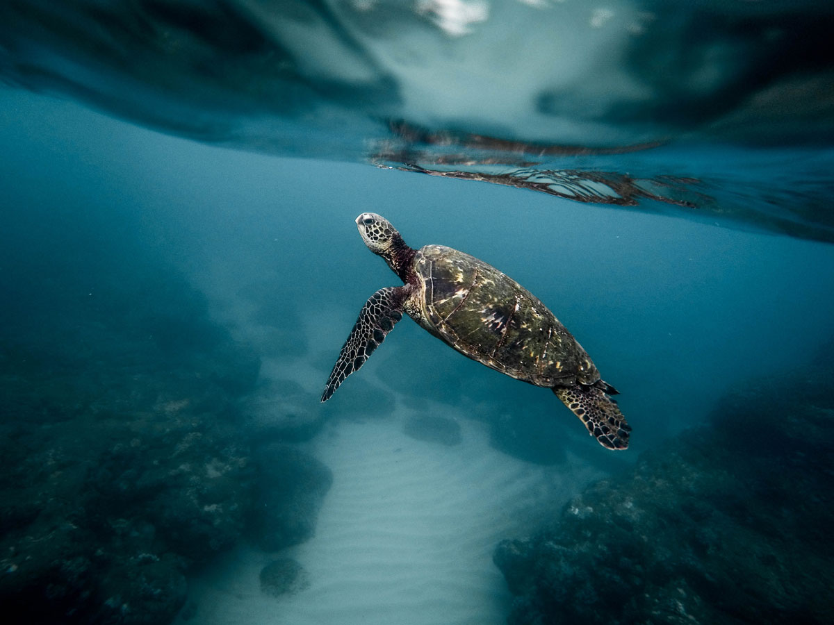
OTN tags and tracks blue sharks
in the Northwest Atlantic.
Photograph by unsplash

Australia & Tasmania
Perth, Australia
Established in 2009 in partnership with the IMOS Animal Tracking Facility (IMOS-ATF), the OTN-Perth Line was the Network’s first international acoustic array and serves researchers tracking marine animals such as whale sharks, white sharks, tuna, pink snapper and seals. The array helps monitor the movements of highly migratory tagged white sharks, especially in the vicinity of Perth beaches where the information is used to reduce human-shark interactions.
Bass Strait, Tasmania
The OTN-Tasmania Line has become an important component of IMOS-ATF. The array monitors large-scale species movements, as well as the role that one of the country’s major boundary currents plays in driving these movements.


Flagship Programs
These highlighted projects are a few of the many
operating out of the Maritime region.
Torpedo ray
In 2015, OTN and Dalhousie University researchers deployed the first satellite tag on an electric ray in Ketch Harbour, Nova Scotia. Torpedo rays, the largest and most powerful of the electric rays, can deliver a 200 volt shock to stun prey and defend against predators. The deployment of electronic tags on electricity-producing creatures had not been attempted before. Once thought to be creatures of the coastline, tracks from satellite tags have documented migrations of these rays up to 1,000 kilometres offshore.
Snow crab
OTN works with local harvesters, industry and government to track snow crab and answer critical questions about their movements and population structure in northern Cape Breton and the potential impacts of industrial developments in the region. Sustainable management of snow crab generates economic opportunity and supports food security for coastal communities.
Blue shark
Blue sharks are the most common bycatch shark species in commercial high seas and coastal fisheries. They are a key component of the marine food web, keeping fish populations and other elements of the ocean ecosystem in balance. Since 2013, OTN has led a special study using long-life acoustic tags and satellite tags to track a population of blue sharks known to spend part of their life cycle in the Northwest Atlantic. Tagging activities have been nested within a Dalhousie University undergraduate course.
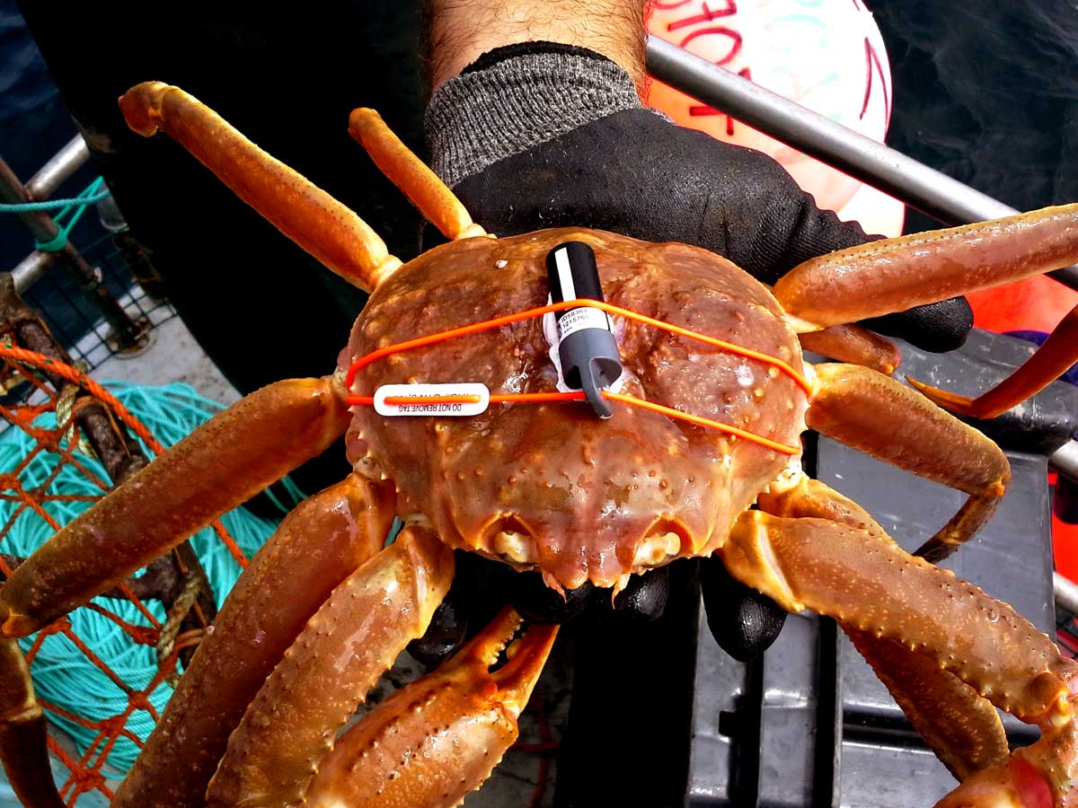
The snow crab fishery in northern Cape Breton generates economic opportunities, ensures food security and supports the livelihoods of coastal communities.
Photograph by Nikki Beauchamp
International Salmonids
Norway
Sea trout numbers in central Norway have declined as much as 60 per cent over the past several decades, partly due to a decline in marine survival. Tracking studies in Norway are attempting to determine how trout use their habitat when at sea, as well as reveal the underlying causes among different marine migratory strategies. OTN Canada researchers are partnered on this study and the Kerguelen Islands study.

Kerguelen Islands
The French Kerguelen Islands are remote, sub-Antarctic islands situated in the middle of the triangle formed by South Africa, Australia and Antarctica. Tracking studies undertaken by OTN researchers in collaboration with French and Norwegian partners, which began in 2015, aim to understand the successful colonization of brown (sea) trout introduced to the Kerguelen Islands in the 1960s in the context of climate change and glacial retreat.

The tiny Lac Bontemps research cabin under a foggy morning
in the Kerguelen Islands.
Photograph by Xavier Bordeleau
Global Shark Tracking
South Africa
In South Africa, OTN is partnered with the Acoustic Tracking Array Platform (ATAP) to track several species of highly migratory sharks—some of which have been detected as far away as Australia. The platform’s array covers approximately 2,200 kilometres of coastline from False Bay, near Cape Town, to Ponta do Ouro, Mozambique. To date, the ATAP team has tagged more than 700 individual animals from 27 species.
Cabo Verde
The waters of Cabo Verde off the coast of West Africa hold one of the last remaining hotspots for sharks in the North Atlantic Ocean. Illegal trawling and shark finning threatens much of the coastal marine wildlife. Detailed scientific information is scarce in the region, preventing science-based management. OTN is involved in efforts to tag and track weasel sharks, nurse sharks, and other elasmobranchs to better understand their movements and habitat use in Cabo Verde.
Mozambique
A volunteer expedition program, “Underwater Africa,” has been partnering with OTN on a shark tracking project in Mozambique’s Inhambane Estuary. The organization’s focus ranges from tracking shark species to studying the effects of microplastics in the marine environment. Bull shark tracking in particular aims to provide information on shark movements and behaviour to reduce the high number of fatal shark attacks in the area.

Photograph by Matt Potenski
Gulf Coast Collaborations
Florida Everglades
This OTN collaboration with Florida International University is studying movements of acoustically tagged snook and tarpon in the context of increased salinity in Florida Bay and the subsequent die-off of nutrient-rich and protective seagrass beds. The research is documenting the distribution of these species across two lake systems that vary in nutrient status (one enriched, one unenriched). As the effort to return the Everglades’ freshwater input to historical, pre-drainage conditions continues, these studies are addressing uncertainties regarding how salinity and other environmental changes will affect current fish communities. There are future plans to begin acoustic tracking of the endangered American crocodile.
Integrated Tracking of Aquatic Animals in the Gulf of Mexico (iTAG)
iTAG is a community of researchers working to advance marine animal tracking capabilities in the Gulf of Mexico. Utilizing OTN-supported tracking array expansion and data expertise, studies of critical reef fish abundance and residency are informing changes to commercial and recreational fishing practices in the Gulf.
Florida Atlantic Coast Telemetry (FACT)
The FACT array is a regionally coordinated effort between more than two dozen marine research organizations. It is using acoustic telemetry to reveal the behavior of fishes and sea turtles in the South Atlantic, Bahamas and the Caribbean Sea. In 2016, OTN data managers helped FACT establish an OTN data node structure, which creates a virtual “lost and found” of animal tag IDs. These collaborations are knitting OTN assets together with those in the U.S. to establish a continental-scale system of acoustic arrays for North America.

Oceans of Opportunity
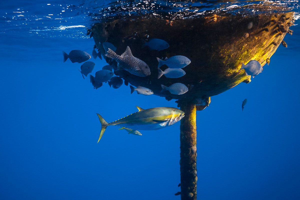
BOO PIRATA
Deep-sea buoys help monitor global weather patterns and ocean currents. When equipped with acoustic receivers, these offshore, interoceanic buoys have the potential to capture movements of highly migratory animals in areas that would not otherwise permit receiver deployments. For this reason, they are termed “Buoys Of Opportunity” (BOO). Deployments on the Prediction and Research Mooring Array in the Tropical Atlantic (PIRATA buoy array), among other collaborations, have positioned OTN as a contributor to the Horizon 2020 AtlantOS project, a pan-Atlantic Ocean observing initiative.

BOO Davis Strait
A BOO deployment has also been set up in the Davis Strait, which lies between Baffin Island and Greenland and connects the North Atlantic Ocean to the eastern Arctic Ocean. This array supports both OTN Arctic studies and those of international collaborators tracking Greenland halibut, Greenland shark, Arctic skate, Arctic cod, narwhal and Atlantic salmon.
BOOs capture the movements of highly migratory pelagic animals far offshore.
Photograph BY Masakazu Ushioda/SeaPics.com
OTN DATA CENTRE

Lenore Bajona • HOMETOWN: Halifax, NS • Director of Data Management
Photograph courtesy of Dalhousie University
What is the OTN Data Centre?
The OTN Data Centre provides open-source tools for data curation and the management, visualization and analysis of telemetry data. We assist in the implementation of internationally standardized data nodes and promote international data exchange. One of our key goals is to improve and automate tracking by processing, loading and distributing animal tracking data to our collaborators and the public.
Describe OTN’s involvement on international data bodies and the importance of having a voice as an international data platform.
OTN is one of only a few aquatic animal telemetry data systems and the only one with a global reach. It is the longest running and has the largest collection with regards to geographic and taxonomic coverage. In 2015, based on its merits and sophistication, OTN was accepted as the first Canadian Associate Data Unit (ADU) of the International Oceanographic Data and Information Exchange (IODE) under the Intergovernmental Ocean Commission (IOC). As an ADU, OTN is recognized as having established a data system with a global reach that meets IODE data standards and can contribute to global data-sharing standards and best practices.
How has the OTN data team transformed tracking data over the years?
We train local data managers around the world on using OTN tools for data processing, quality control and storage, and provide OTN-affiliated researchers with the most complete detection dataset possible for their tagged animals. We’re helping groups like GLATOS build open-source statistical computing tools for telemetry data analysis and visualization. The OTN Data Centre’s ongoing partnership with the Ocean Biogeographic Information System (OBIS) ensures that data collected from telemetry projects enter the public sphere in formats that are complete and useful to the broader international community.
Describe the benefits of integrated data networks and globally connected data nodes.
OTN has been providing assistance to other international systems and has begun the distribution of “regional” nodes to better reconcile tracking data among geographically disparate users—for example, a tuna tagged in the Northwest Atlantic Ocean may be detected on a receiver in the Gulf of Mexico, where the tag code is a mystery. These “mystery detections” are easily identified by the tuna taggers via OTN’s interconnected nodes.
Ocean Tracking Network
General inquiries:
+1 (902) 494-4101
Found equipment
+1 (902) 494-2357
Media inquiries
+1 (902) 494-4405